Figure 2. Taylor Marl exposed in a small gully.
Stop 1. Taylor Marl
Taylor Marl is exposed in a gully on the bank of Cottonwood Creek in southern Dallas County (site 1 on Fig. 1). Marl is a calcareous shale (a clay-rich limestone), formed in a shallow tropical ocean.
Figure 2. Taylor Marl exposed in a small gully.
Common fossils, such as the shell fragments shown below, confirm the marine origin of this rock (quarter for scale).
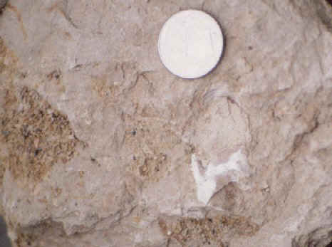
Figure 3. Fossil shells confirm the marine origin of the marl.
The rock has conspicuous layering because of its high clay content. The closely-spaced layers allow the rock to split into sheets - a property known as fissility. The Taylor Marl is moderately-strongly fissile.
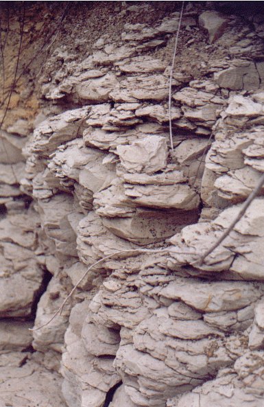
Figure 4. Layering in the Taylor Marl.
The clay particles swell when wet, causing the rock to split into thin sheets and break apart (a weathering process known as "slaking") - this makes the rock crumble and erode easily.
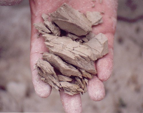
Figure 5. Slaking of the Taylor Marl.
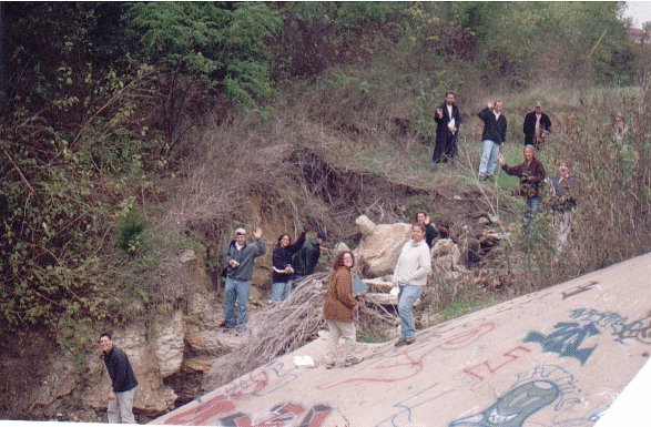
The marl supports flat to gently sloping prairies (mainly grasses), although some trees and steeper slopes are present along waterways.
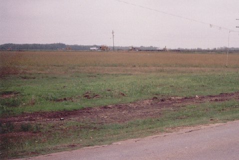
Figure 6. Surrounding vegetation.
The combination of an easily eroded rock, a high clay content and abundant organic matter (from grasses) creates a deep, clayey, organic-rich soil.
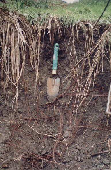
Figure 7. Soil developed on the Taylor Marl.
Taylor Marl is fairly erodible and, in Dallas County, forms generally flat, low-lying terrain.